Canada Map Study
Learning Level: Elementary School
Learning Level: Primary School
About this Resource
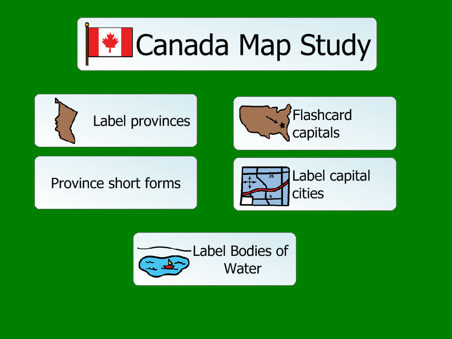
Grade 5. In this project, the student can learn about Canadian provinces and their short forms, provincial capitals and bodies of water. In the Label Provinces activity, the student can drag and drop the names of the provinces and territories onto a map. The Province Short Forms is a matching activity. In the Flashcard Capitals, the student clicks to advance the province by capital matches. The Label Capitals provides a map and the student can drag and drop the capitals to the appropriate provinces. The Label Bodies of Water activity is a set of maps onto which the student can drag the names. These activities are set in non-quiz mode so feedback on accuracy is provided. This can be changed in the design mode by right-clicking on the page in the project view and selecting Edit Shared Variables, and changing the Quiz mode to yes. This project was created to support the BC Social Studies IRP for grade 5: A2 Use maps and timelines to locate, interpret and represent major physical, political and economic features of BC and Canada.
Under BC’s new curriculum:
Social Studies Grade 2: "diverse characteristics of communities and cultures in Canada and around the world, including at least one Canadian First Peoples community and culture
Resource Files
Please Note: These files can only be downloaded on desktop. Visit the SET-BC website on a desktop computer to access them.
-
Canada Map Study (1 MB)